Tornadoes, floods, and risk of storm surges as Hurricane Milton hits Florida


Key Points
  • Milton has weakened further and is now a Category 1 hurricane.
  • It could hit the Tampa Bay area with a life-threatening surge of seawater.
  • Up to two million people have been ordered to evacuate.
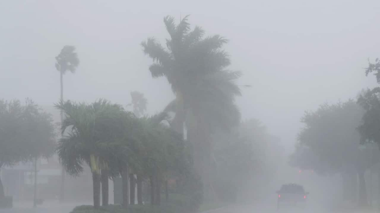
Hurricane Milton marched across central Florida after making landfall on the state’s west coast hours earlier, whipping up deadly tornadoes, destroying homes and knocking out power to nearly two million customers.
The storm, which made landfall as a Category 3 hurricane, has since weakened to a Category 1, according to the latest advisory from the United States National Hurricane Center (NHC).

In a state already battered by Hurricane Helene two weeks ago, as many as two million people were ordered to evacuate, and millions more live in the projected path of the storm.

The roof of Tropicana Field, the home of the Tampa Bay Rays, appeared to be badly damaged as Hurricane Milton passes Thursday, Oct. 10, 2024, in St. Petersburg, Fla. Credit: CHRIS URSO/AP/AAP

The storm made landfall around 8:30pm local time on Wednesday with maximum sustained winds of 195km/h near Siesta Key, the NHC said.

Homes Destroyed

By 11pm, wind speeds had reduced to 165km/h, dropping Milton to a Category 2 hurricane, nonetheless still considered extremely dangerous. The eye of the storm was 120km south-west of Orlando in the state’s centre.

At least two deaths were reported at a retirement community following a suspected tornado in Fort Pierce on the eastern coast of Florida, NBC News reported, citing St. Lucie County sheriff Keith Pearson.

Pearson estimated 100 homes were destroyed in the county, where some 17 tornadoes touched down.
More than 1.8 million homes and businesses in Florida were without power, according to the PowerOutage.us website.
Most hurricane fatalities occur when trees fall on people in the street, in their cars or in their homes, the NHC warned.

Others die from post-storm accidents like setting their houses on fire using candles, igniting leaked gas with flashlights and asphyxiating from carbon monoxide produced by generators. People die of heart attacks and other medical issues after storms, as well as in accidents while using chainsaws to clear downed trees, NHC director Michael Brennan said in a video briefing.

Officials issued increasingly dire warnings on Wednesday local time as landfall drew closer.
President Joe Biden urged people to follow local safety recommendations.

“It’s literally a matter of life and death,” Biden said at a White House briefing.

Third-fastest intensifying storm on record in the Atlantic

The NHC labelled the storm “extremely dangerous”.
“On the forecast track, the centre of Milton will make landfall just south of the Tampa Bay region within the next hour or two, and then move across the central part of the Florida peninsula overnight, and emerge off the east coast of Florida on Thursday,” the hurricane centre said.
The storm could bring a surge of seawater as high as 2.7 to 4m in some areas and dump 150 to 300mm of rain, with as much as 450mm possible in spots. The National Weather Service (NWS) confirmed at least 16 tornadoes in Florida on Wednesday, and more were expected into the early hours of Thursday.

At sea, the hurricane created waves close to 8.5m high, the National Oceanic and Atmospheric Administration (NOAA) said.

A satellite image shows Hurricane Milton in the Gulf of Mexico off the coast of Florida.

Milton became the third-fastest intensifying storm on record in the Atlantic, growing from a Category 1 to a Category 5 in less than 24 hours. Source: AAP / National Oceanic and Atmospheric Administration

The four bridges spanning Tampa Bay were closed before the storm was due to make landfall, according to the Florida 511 website.

Most causeways connecting the Gulf barrier islands to the mainland were also shut, stranding any who decided to ride out the storm despite pleas from officials.

Milton became the third-fastest intensifying storm on record in the Atlantic, growing from a Category 1 to a Category 5 in less than 24 hours.

Much of the southern US as it cut a swath of devastation through Florida and several other states. Both storms are expected to cause untold billions of dollars in damage.

Fueled by unusually warm waters in the Gulf of Mexico, the storm was set to hit the Tampa Bay metropolitan area, home to more than three million people, as a major hurricane with a huge footprint.

‘Out of the ordinary’ tornadoes

By Wednesday evening, more than 130 tornado warnings associated with Milton had been issued by NWS offices in Florida.
Scientists say the appearance of tornadoes before and during hurricanes is not unusual, but the twisters’ ferocity was.
“It’s definitely out of the ordinary,” said Victor Gensini, a professor of meteorology at Northern Illinois University.
“Hurricanes do produce tornadoes, but they’re usually weak.

“What we saw today was much closer to what we see in the Great Plains in the spring.”

A car drives down a road, approaching a tornado.

Scientists say the appearance of tornadoes before and during hurricanes is not unusual. Credit: X/NWSMiami

Tornadoes spawned by hurricanes and tropical storms most often occur in the right-front quadrant of the storm. Still, sometimes, they can also take place near the storm’s eyewall, according to NOAA.

The heat and humidity present in the atmosphere during such storms and changes in wind direction or speed with height, known as wind shear, contribute to their likelihood.
“There’s an incredible amount of swirling going on,” Gensini said of the conditions that allowed the twisters to grow.
“Those tornadoes were just in a very favourable environment.”

The warming of the oceans by climate change is making hurricanes more intense, but Gensini said he did not know of any connection between human-caused warming and the deadly tornadoes that Floridians experienced with Milton.


Source link